




70+
Enterprises Served
2500+
Flight Hours Safely Logged
50+
Faster Inspections For Major Projects
30%
Improvement In Operational Efficiency


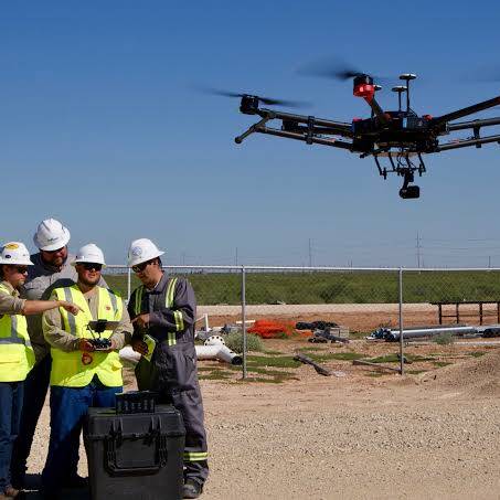
Leading Enterprise Drone Solutions Across the UAE
SkyScan empowers businesses with advanced drone technology, certified UAV pilots, and intelligent aerial data solutions. We specialize in surveying, mapping, inspections, and progress monitoring that help organizations make faster, safer, and more informed decisions.

500+
Completed Drone Missions
Industries We Serve
Oil & Gas and Marine
Reduce risk and downtime with advanced aerial inspections for refineries, pipelines, and offshore platforms across the GCC region.
Power & Utilities
Maximize grid reliability and solar panel performance with thermal imaging and automated inspections across transmission, distribution, generation, and solar infrastructure.
Agriculture
Skyscan delivers precision drone surveys and intelligent aerial monitoring for farms, plantations, and agricultural land—helping growers and agribusinesses, and make faster, data-driven decisions.
Construction
Construction progress monitoring, precise quantity and volumetric measurement, and data-driven insights to ensure project delivery on time and within budget.
01
Projects often face challenges such as high manpower requirements, complex stakeholder coordination, and inconsistent data, leading to increased costs and project delays.
02
Many small-scale service providers lack the resources and expertise to manage enterprise projects, relying on manual processes that result in lower-quality outcomes and costly rework.
03
In-house teams often face compliance challenges, and without the required permits or regulatory expertise, drone operations can be delayed for months before data collection begins.
Meet Skyscan Drone-powered Solutions
Leverage experienced drone pilots, enterprise-grade equipment, and regulatory expertise to execute aerial projects without the cost and complexity of building an in-house team.

Transform traditional surveying with high-precision aerial mapping
Capture accurate aerial data using enterprise-grade drones and proven workflows. Our experts deliver reliable mapping results faster than conventional methods, reducing manual effort and accelerating project delivery.
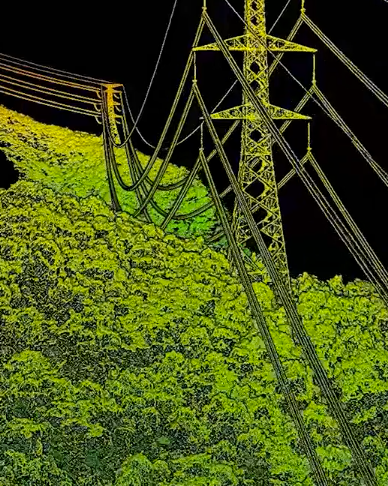

Eliminate inspection blind spots with expert insights
Detect critical issues with certified drone pilots, experienced engineers, and qualified inspectors who identify risks that traditional inspections may overlook. We deliver high-quality data and actionable inspection reports to support proactive maintenance and minimize unplanned downtime.
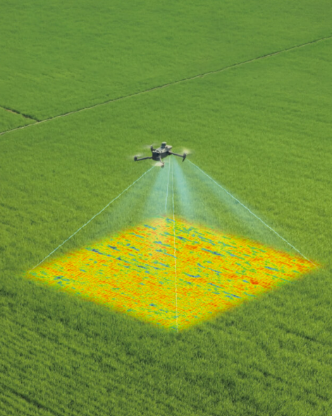

Stunning, Photo-Quality 3D Models
Terra introduces Gaussian Splatting, which quickly generates detailed and realistic 3D models from photos, accurately restoring diverse scenes such as cultural relics, architectural projects, urban blocks, and scenic gardens. Compared to visible-light oblique photogrammetry technology, 3D Gaussian Splatting significantly enhances the representation of complex elements like fine structures, transparent and reflective objects, and vegetation. In addition to producing more natural rendering effects, this technology can also generate distortion-free orthomosaics, further improving the quality of the results.

Where Grounded Plans Quietly Took Flight
From delays to seamless execution — see how our drone solutions helped businesses rise above roadblocks.
SERVICES
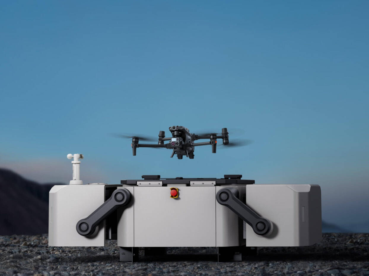
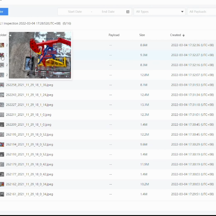
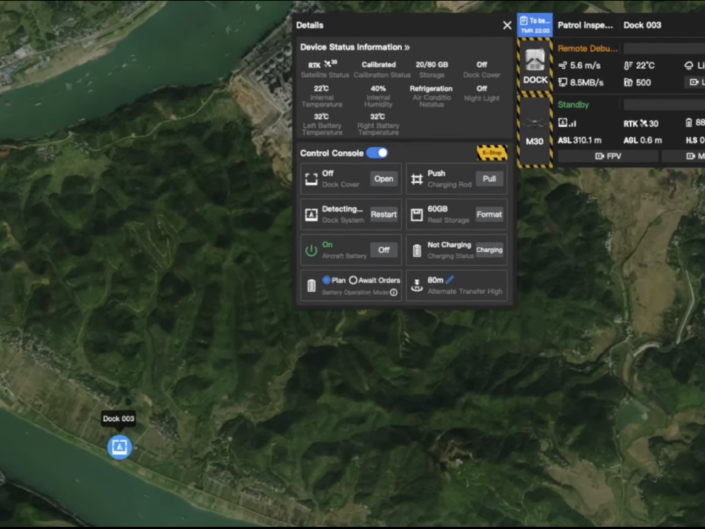
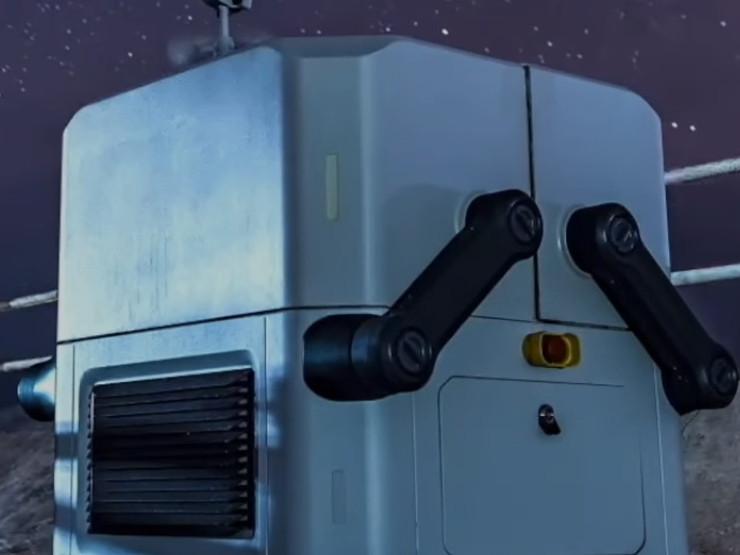
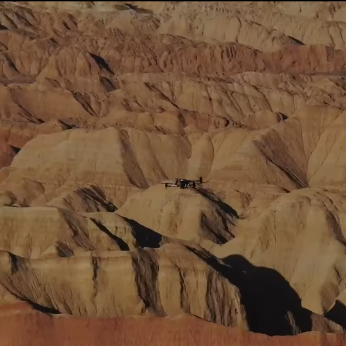
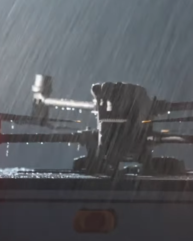
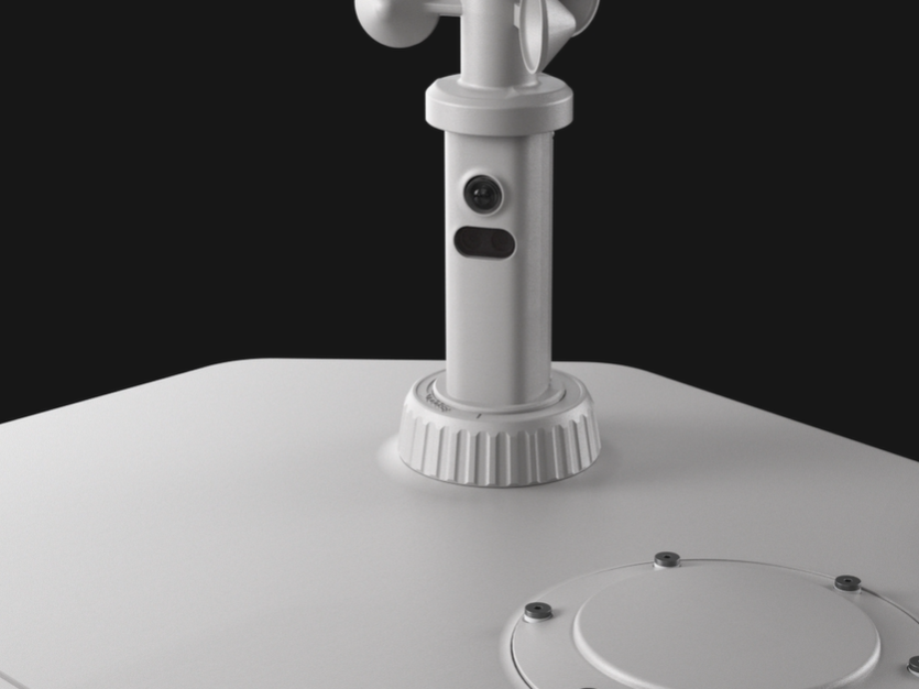
Autonomous & Dock-Based Operations
Enable fully autonomous, remote drone operations with dock-based solutions designed for 24/7 monitoring,scheduled missions, and rapid incident response.









Our Proven Workflow
Leading Drone Solution Provider in UAE
Delivering innovative aerial surveying, mapping, inspection, and monitoring services across multiple industries. Contact us today to discover how our enterprise drone solutions can help your business achieve greater accuracy, efficiency, and success.
Got some questions?We have answers
Skyscan manages all required commercial drone permits, airspace authorisations, and DCAA/GCAA/GACA regulatory approvals across the UAE and KSA. We work closely with aviation authorities, and all pilots are licensed, insured, and certified to current standards.
Most drone projects can begin within 14 business days. In complex airspace or high-security areas, permit approvals may extend timelines to 3–4 weeks. We manage the entire process, from documentation to approvals, ensuring a smooth start.
Yes. Skyscan has a dedicated team and office in Saudi Arabia (KSA), enabling full-service drone operations across the Kingdom. We operate under GACA regulations and manage everything from permit acquisition to execution for sectors like power, infrastructure, agriculture, oil & gas, and government projects.
Skyscan is proud to be the first ISO-certified drone company in the region, ensuring top-tier data security and operational standards. Project data is encrypted end-to-end, transferred via secure platforms, and handled in full compliance with government and enterprise policies.
We use secure cloud platforms or your preferred delivery method. Data can be integrated directly into GIS/CAD platforms, project management tools, or custom dashboards. Access controls and version tracking ensure transparency, security, and collaboration.