Empower Agriculture with Intelligent Drone Insights
The Challenges of Monitoring Large-Scale Agricultural Operations
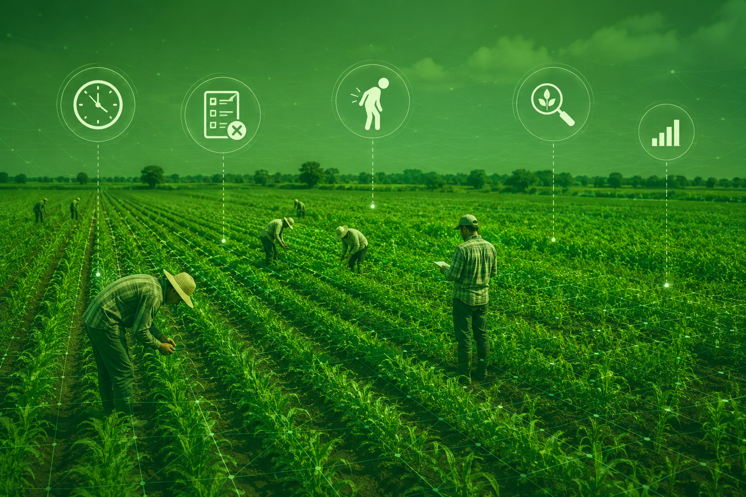
Manual field inspections are time-consuming and resource-intensive.
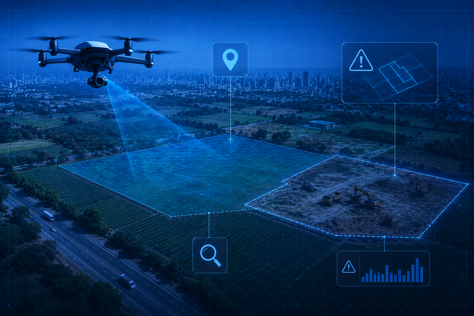
Unauthorized land use is difficult to identify in time.
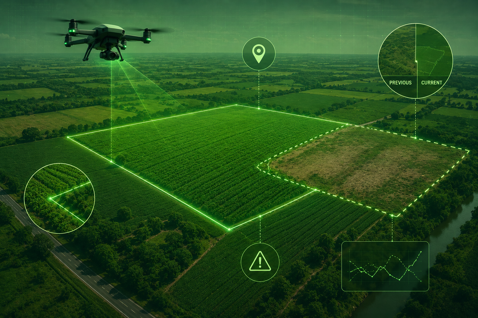
Boundary changes often go unnoticed until disputes arise.
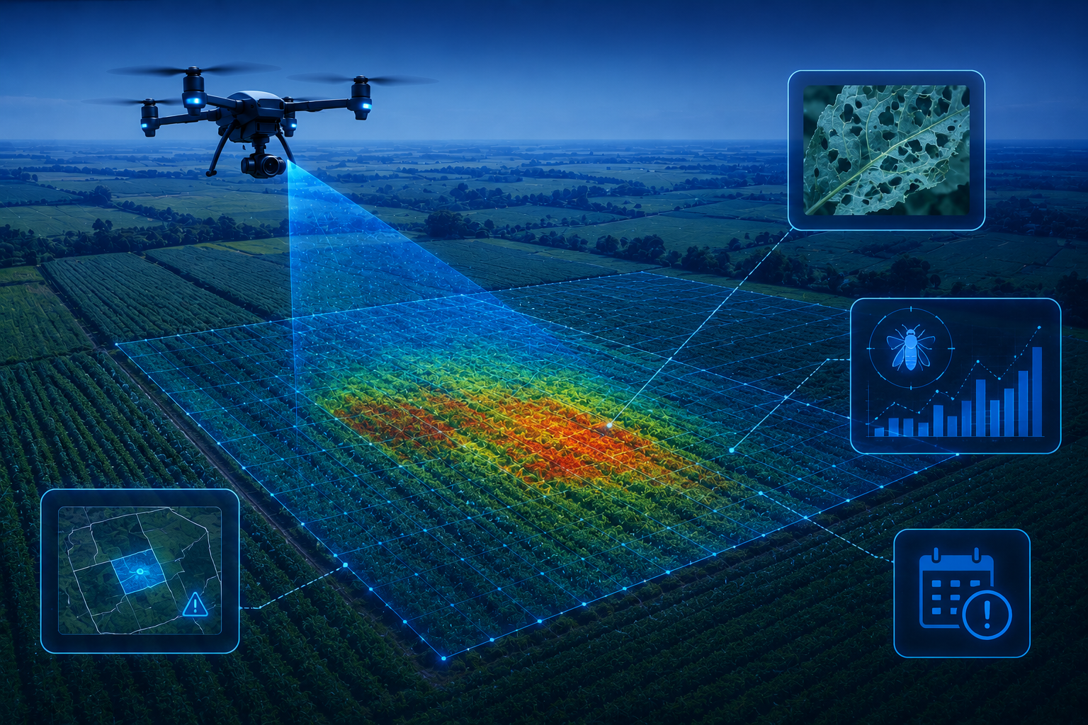
Pest infestations are detected too late to prevent crop damage.
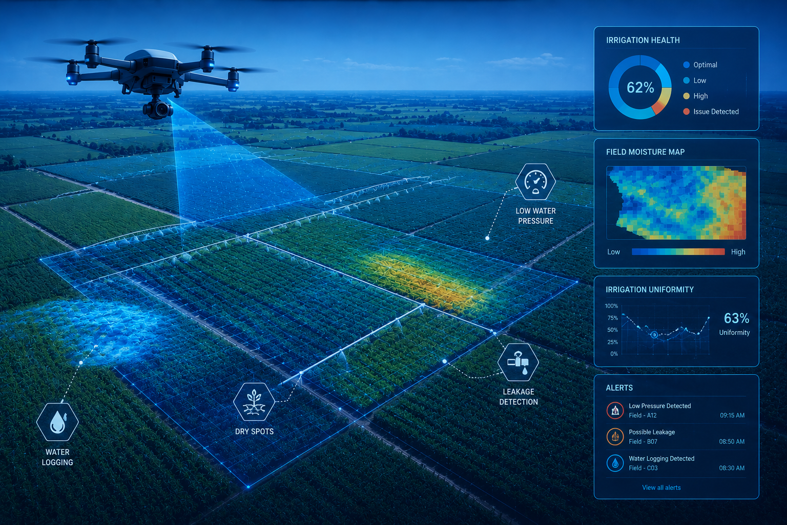
Irrigation performance is difficult to monitor across large farms.
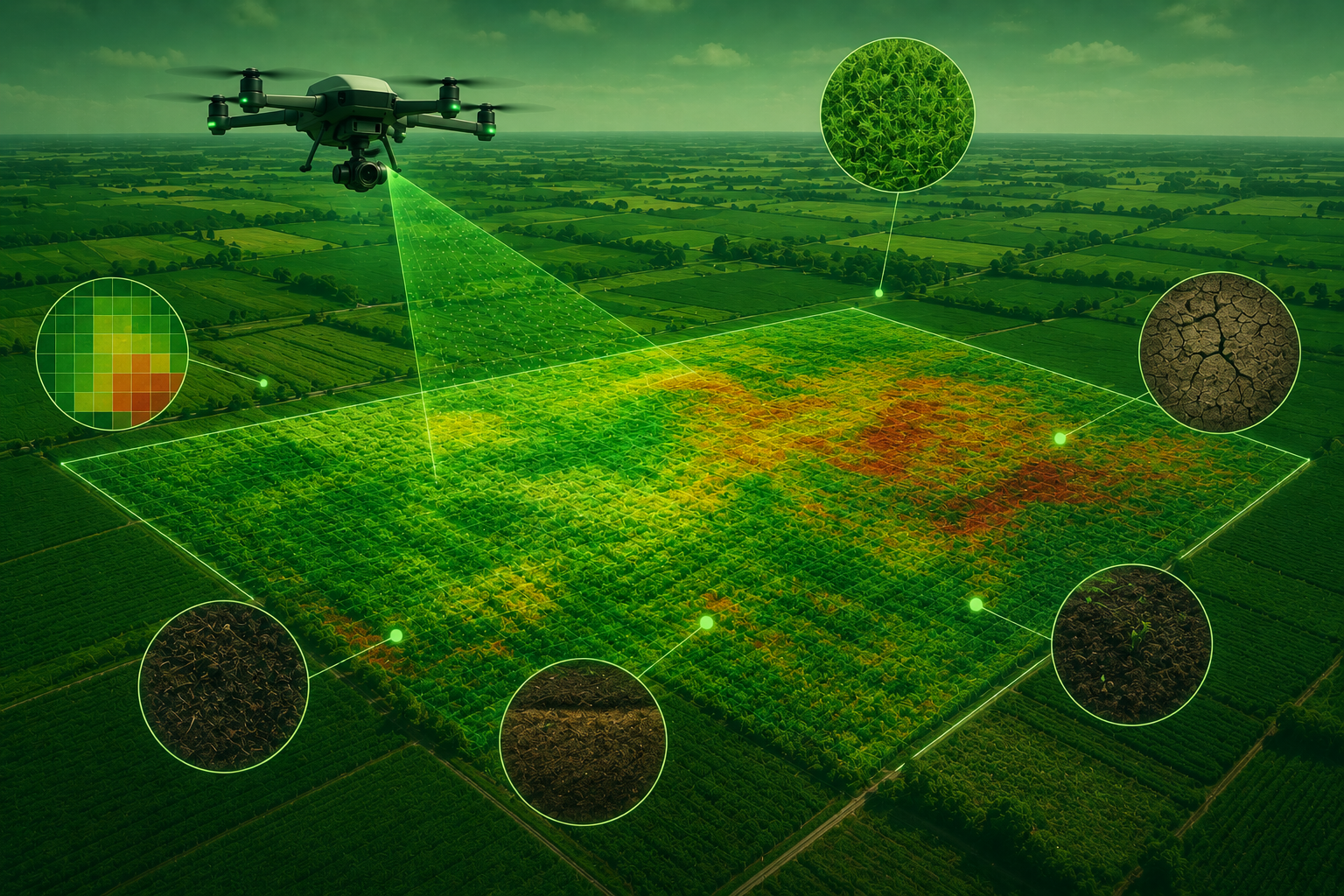
Soil health insights are limited without continuous field monitoring.
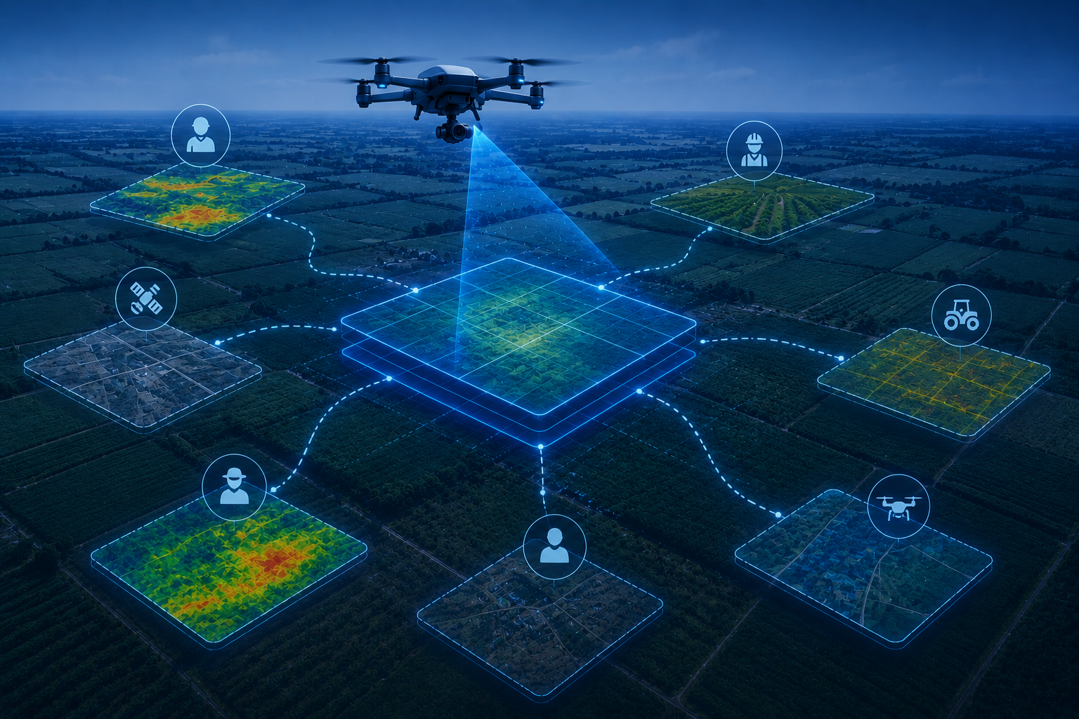
Agricultural data is fragmented across multiple systems and stakeholders.
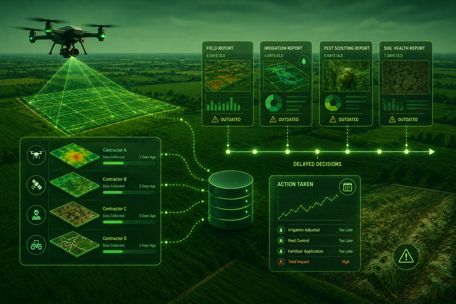
Delayed reporting slows critical farming and land management decisions.
Drone Platforms & Payloads
Enterprise-grade drone platforms equipped with advanced RGB and multispectral sensors, delivering end-to-end agricultural solutions through mission-specific sensor selection, intelligent flight planning, and AI-powered data processing tailored to field conditions, terrain, and regulatory requirements.
Data Accuracy & Coverage
Delivering centimeter-level mapping accuracy with Ground Control Points (GCPs), our drone operations efficiently cover large project areas through long-endurance flights and scalable multi-mission campaigns for consistent, high-quality geospatial data.
Processing & Analysis
Inspection data is delivered in GIS-ready formats or as raw imagery to match your operational requirements. Our processing workflows integrate seamlessly with utility systems, providing advanced insights such as hotspot detection, corona discharge identification, and vegetation encroachment analysis.
Security & Compliance
Our operations adhere to regional aviation regulations and industry best practices, ensuring every mission is conducted safely and responsibly. Enterprise-grade security, encrypted data handling, and internationally recognized standards protect your inspection data from collection through delivery.
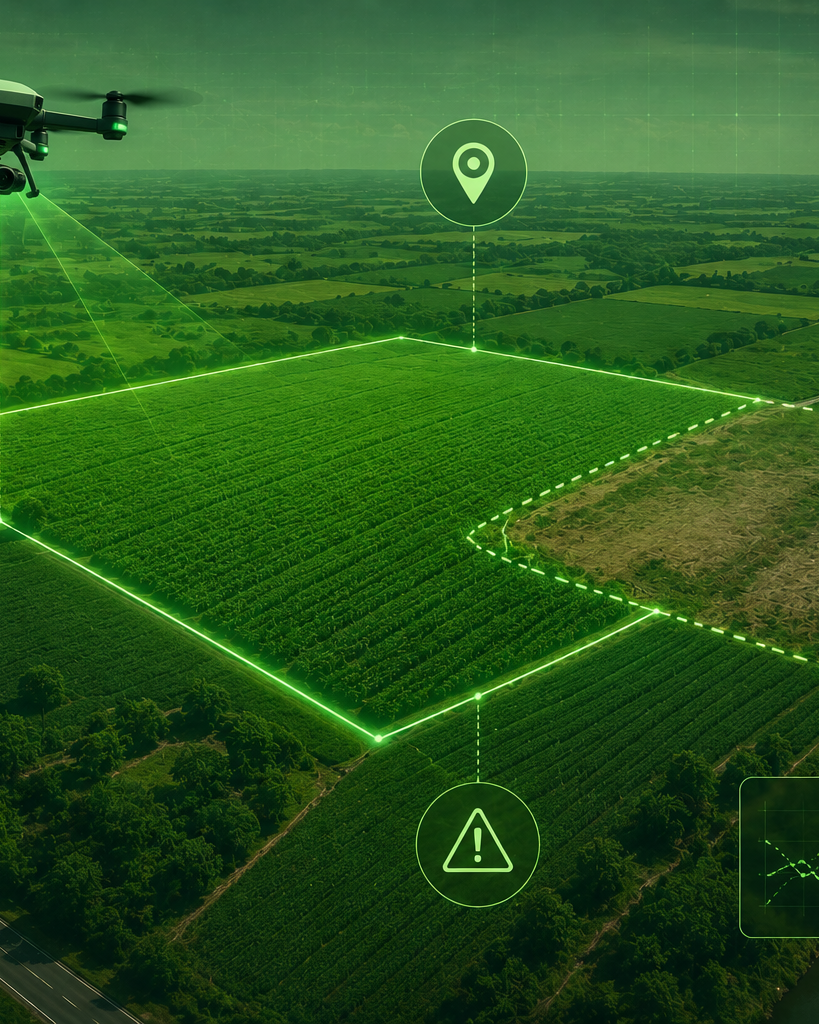
Large-Scale Agricultural Surveys with Actionable Aerial Intelligence
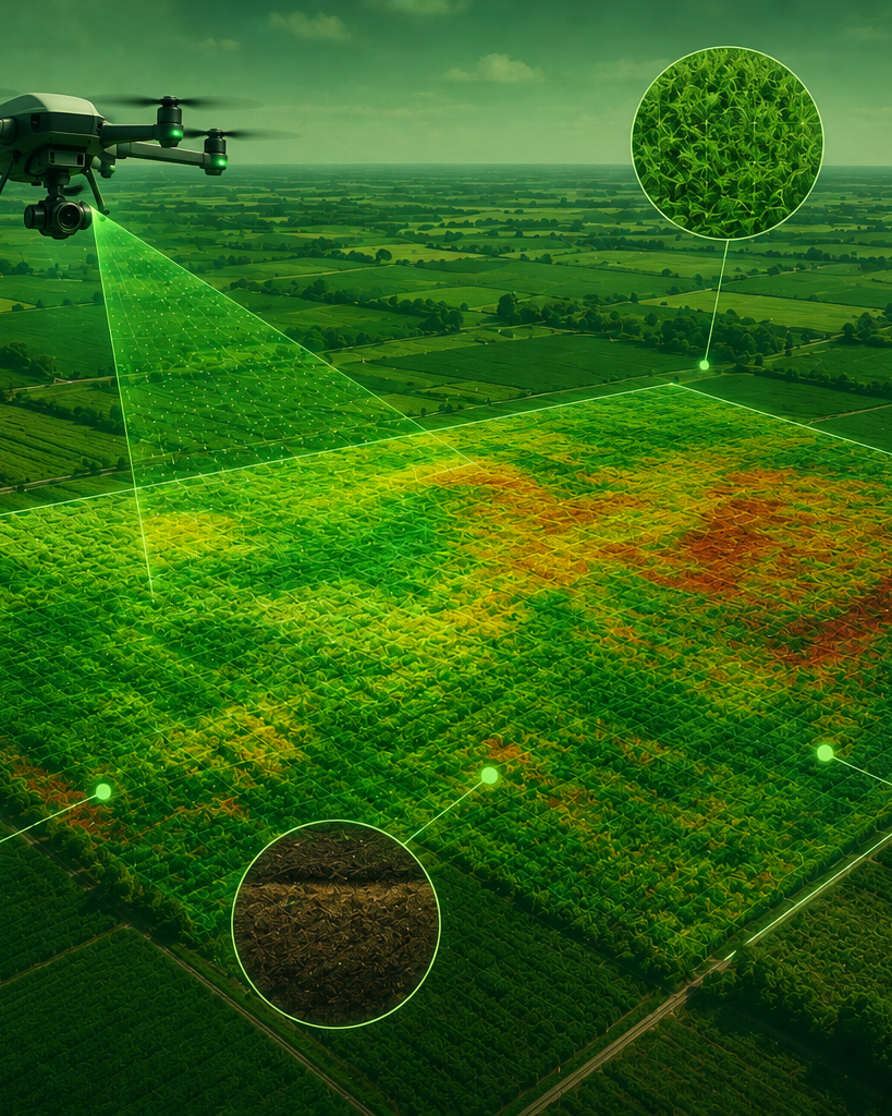
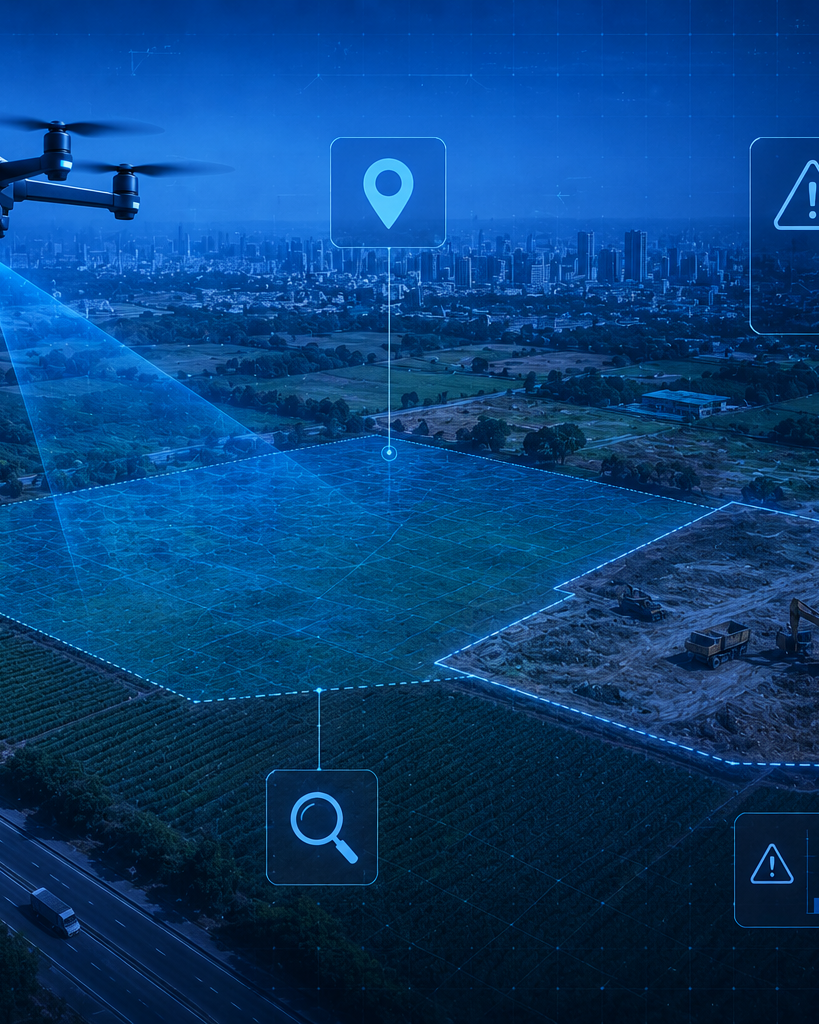
Capture high-resolution aerial data across vast agricultural landscapes using advanced drone technology. From crop health and irrigation analysis to boundary monitoring, land-use verification, and risk detection, Skyscan delivers fast, accurate insights that help you make informed decisions with confidence.
Everything You Need to Deliver Construction Projects Faster, Smarter, and with Confidence
AI-Powered Analytics with Secure End-to-End Drone Operations
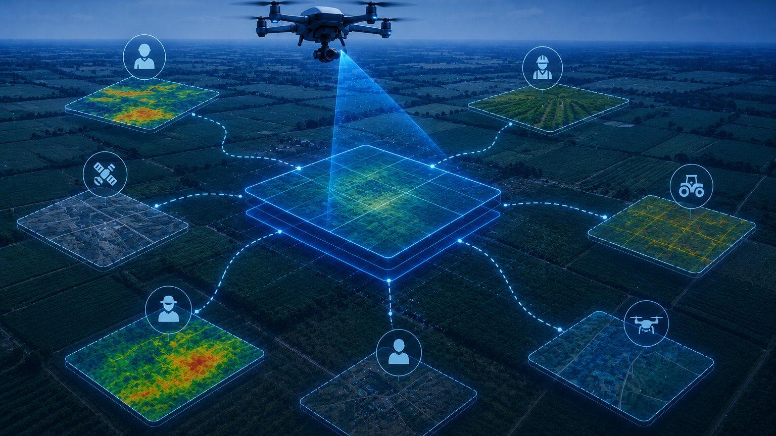
Transform aerial imagery into actionable insights with AI-driven analysis of crop health, land use, and compliance. Every stage—from drone operations and data processing to reporting—is managed entirely in-house, ensuring faster delivery, enhanced data security, and reliable results you can trust.