
Leading Enterprise Drone Solutions Across the UAE
Faster Area Coverage
Ground surveys take months to cover large areas.
Drone-powered surveys capture vast terrains in hours, significantly reducing project timelines.
AI-Powered Classification
Manual classification is slow, inconsistent, and error-prone.
AI automates object detection and data processing for faster, more reliable results.
Accelerated Project Delivery
Long turnaround times delay planning and decision-making.
Real-time aerial data enables faster analysis, quicker approvals, and informed decisions.
Safer Site Operations
Physical site access increases safety risks and manpower needs.
Conduct inspections remotely with drones, minimizing field exposure and improving worker safety.
Unified Digital Data
Terrain data is often scattered across multiple systems. Centralize survey, mapping, and inspection data into one GIS-ready platform for faster collaboration and decision-making enterprise-wide.
Reduced Rework & Costs
Onsite rework adds to time and cost overruns.
Accurate aerial data helps identify issues early, reducing costly revisions and delays.
High-Resolution Intelligence
Satellite imagery lacks the resolution for detailed analysis.
High-resolution drone imagery provides precise insights for engineering and infrastructure projects.
Up-to-Date Site Intelligence
Capture accurate, real-time site data to monitor progress, detect changes, and make informed decisions with confidence.
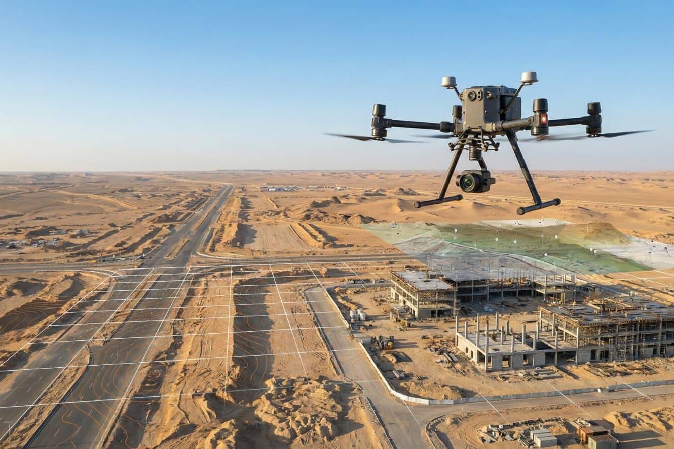
Drone Surveying Excellence
Fast, Accurate Data Collection Across Every Terrain
SkyScan deploys advanced UAVs equipped with LiDAR, high-resolution RGB cameras, thermal sensors, and AI-powered analytics to capture precise geospatial data with exceptional speed. From construction sites and transportation corridors to utilities, mining, and agriculture, we deliver accurate, GIS-ready insights while improving safety, reducing costs, and minimizing operational disruption.
AI-Powered Analytics
AI-Powered Feature Detection & Classification
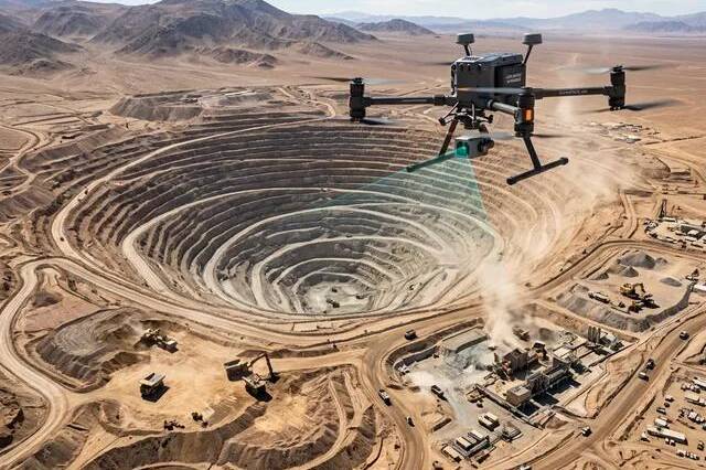
Our AI-driven analytics automatically detect, classify, and map critical terrain features from drone imagery. Whether identifying vegetation, water resources, infrastructure, or land-use patterns, SkyScan delivers reliable, high-precision results that accelerate analysis and support informed decisions.
Integrated Project Delivery
End-to-End Drone Survey Solutions. Zero Compromise.
From mission planning and data capture to processing, analysis, and GIS-ready deliverables, SkyScan manages every stage of the workflow with our in-house team. By eliminating third-party dependencies, we ensure faster turnaround times, consistent quality, and accurate results you can trust.
Where Grounded Plans Quietly Took Flight
From delays to seamless execution — see how our drone solutions helped businesses rise above roadblocks.
Our Proven Workflow
From advanced drone deployment to AI-powered data processing, our end-to-end workflow ensures every project is completed with precision, efficiency, and the highest quality standards.
01
Advanced Drone Platforms
Our fleet includes enterprise-grade UAVs equipped with RGB cameras, LiDAR, thermal sensors, and RTK/PPK technology, ensuring the right solution for every surveying, mapping, and inspection project.
02
Precision Data Capture
Collect high-resolution aerial data with centimeter-level accuracy using automated flight planning and advanced positioning systems for reliable project outcomes.
03
AI Processing & GIS Analytics
Transform aerial imagery into orthomosaics, 3D models, digital elevation models, point clouds, and GIS-ready datasets using AI-powered processing and intelligent analytics.
04
Quality & Compliance
Every mission follows strict aviation safety standards and industry best practices. Our certified drone pilots and quality-controlled workflows ensure secure, accurate, and dependable results.
Drone Platforms & Payloads
LiDAR Mapping
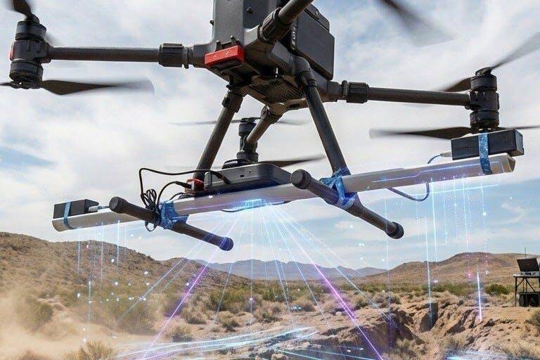
Capture highly accurate elevation models and terrain data using advanced LiDAR sensors. Generate precise topographic maps for construction, infrastructure, mining, and land development projects.
Drone Platforms and Payloads
Produce detailed orthomosaic maps and aerial imagery with enterprise-grade RGB cameras. Ideal for surveying, progress monitoring, asset inspections, and GIS mapping applications.
Thermal & Multispectral Sensors
Detect temperature variations, vegetation health, and hidden infrastructure issues with thermal and multispectral imaging, enabling smarter inspections and environmental monitoring.
AI-Analytics
Combine drone data with AI-driven analytics to automatically detect, classify, and extract valuable insights from aerial imagery, reducing manual processing and accelerating project delivery.