
Why Traditional Aerial Filming Falls Short
Limited Ground-Level Perspectives
Ground-based filming misses the full scale, context, and visual impact of large sites and landscapes.
Time-Consuming Site Coverage
Traditional filming methods require repeated repositioning, increasing production time and delays.
Complex Multi-Camera Setups
Capturing expansive locations often requires multiple cameras, crews, and time-consuming production workflows.
Higher Equipment & Crew Costs
Large filming crews, cranes, and specialized equipment increase operational expenses for every project.
High Cost of Conventional Aerial Filming
Helicopter and crane-based filming significantly increase production costs and scheduling complexity.
Slow Content Delivery
Manual production workflows extend editing and delivery timelines, delaying project marketing and reporting.
Restricted Access to Remote Locations
Difficult terrain and hard-to-reach areas limit the ability to capture high-quality aerial footage safely.
Limited Cinematic Flexibility
Conventional filming struggles to capture dynamic aerial perspectives, smooth tracking shots, and immersive FPV footage.
Advanced Sensor Technology
Stunning Aerials, Minus the Overhead
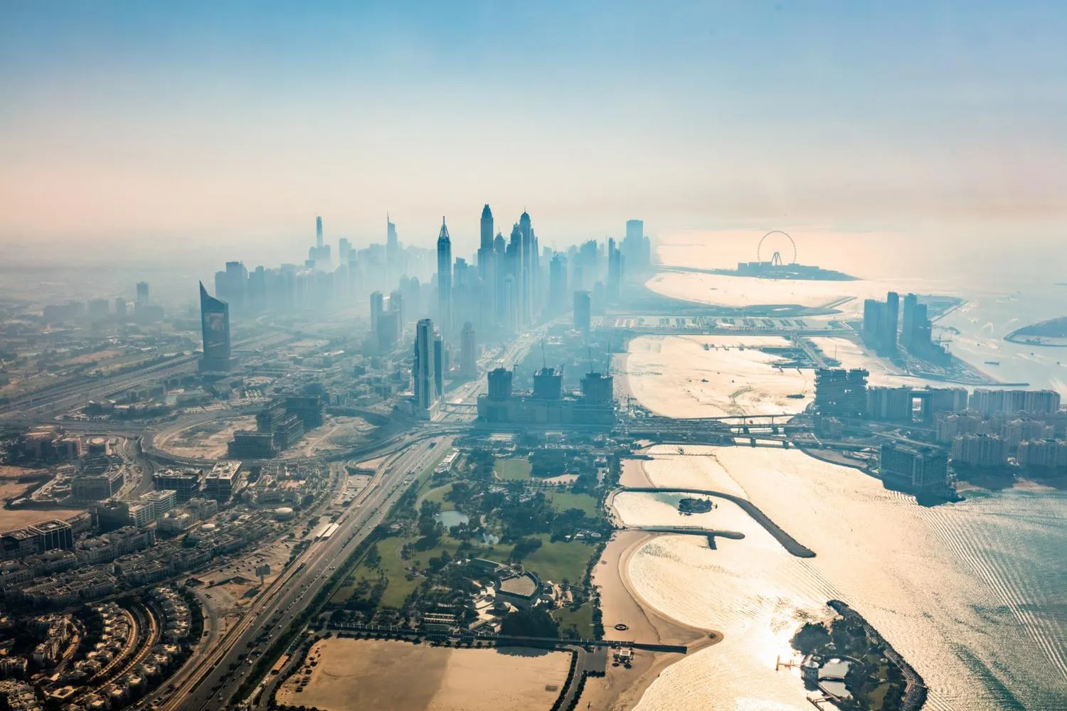
High-resolution 4K drones capture sweeping landscapes, crisp close-ups, and dynamic FPV shots, no helicopters, cranes, or large crews required. The result is cinematic visuals with minimal disruption and maximum flexibility.
Intelligent Data Capture
Film Sensitive Areas Without Disturbance
Drones make it easy to film natural environments, conservation zones, and delicate ecosystems without physical intrusion, delivering striking imagery while protecting habitats.

Multi-Sensor Surveying
Full Coverage, From Script to Screen
Drone Filming Company in Dubai | FPV & Aerial Photography
Where Grounded Plans Quietly Took Flight
From delays to seamless execution — see how our drone solutions helped businesses rise above roadblocks.
Filming Capabilities That Deliver Clarity and Coverage Filming Capabilities That Deliver Clarity and Coverage
SkyScan combines advanced UAV platforms, intelligent sensors, AI-powered analytics, and industry best practices to deliver accurate, reliable, and GIS-ready geospatial solutions for projects of every scale.
01
Drone Platformsand Payloads
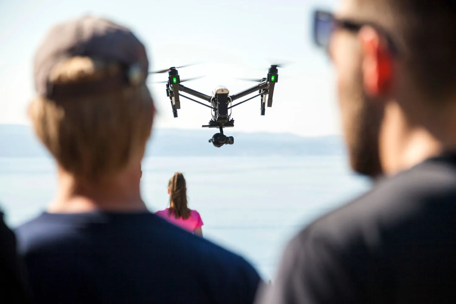
FPV drones and high-resolution 4K payloads used for smooth, stable, and dynamic footage.
02
Data Accuracy and Coverage
Flexible aerial filming across urban, industrial, and natural environments. Comprehensive views in a single flight path with fewer crew members needed.
03
Execution and Permits
In-house permit management ensures smooth operations across regions. Experienced FPV pilots deliver precise flights and on-site coordination.
04
Cost andEfficiency
Lower operational costs compared to helicopters or crane setups. Lean, expert crews provide quick turnarounds with minimal disruption.