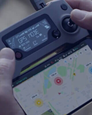
Rapid Site Insights. Reduced Rework. Safer Infrastructure.
Skyscan empowers organizations to inspect critical infrastructure, monitor project progress, and survey complex sites with precision using advanced drone technology. Our intelligent aerial inspections deliver real-time insights, improve safety, reduce operational risks, and help teams make faster, data-driven decisions—without disrupting day-to-day operations.
Why Engineering Projects Experience Costly Delays

Manual site surveys are time-intensive, repetitive, and vulnerable to human error.

Design-to-build discrepancies lead to costly rework and project delays.

Reporting is fragmented, making collaboration across teams inefficient.

Inspections often require shutdowns or added safety risks.

Project progress visibility is limited, delaying timely decisions.

Site conditions change faster than project documentation is updated.

Construction data is fragmented across multiple platforms and stakeholders.

Limited site access reduces inspection efficiency and project visibility.
Drone Platforms & Payloads
Field-proven drone platforms and advanced sensors, including Ground Penetrating Radar (GPR), are selected to match each project's terrain, structural requirements, and operational phase—delivering accurate, reliable data for every mission.
Data Accuracy & Coverage
Centimeter-level accuracy through precision ground control and intelligent flight planning, delivering repeatable data capture, consistent time-lapse monitoring, and efficient coverage of large project sites.
Processing & Analysis
Advanced in-house GIS processing and AI-powered analytics deliver actionable outputs, including 3D maps, point clouds, façade scans, and detailed progress reports in GIS-ready formats that integrate seamlessly with existing project workflows.
Security & Compliance
SkyScan operates in full compliance with UAE aviation and municipal regulations, following internationally recognized standards for UAV operations, quality management, occupational health and safety, environmental management, and secure data protection—ensuring every project is delivered safely, reliably, and with complete regulatory confidence.
From complex infrastructure to large-scale developments, we deliver the precision, intelligence, and control needed to build with confidence.
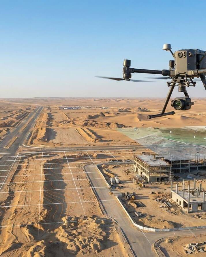
End-to-End Drone Intelligence for Construction Planning and Progress Monitoring
From pre-construction surveys and terrain mapping to ongoing progress tracking and final inspections, Skyscan delivers accurate aerial data throughout the project lifecycle. Using LiDAR, high-resolution RGB imagery, and repeatable drone missions, we provide GIS-ready insights that keep architects, engineers, consultants, and project teams aligned with real-time project visibility.
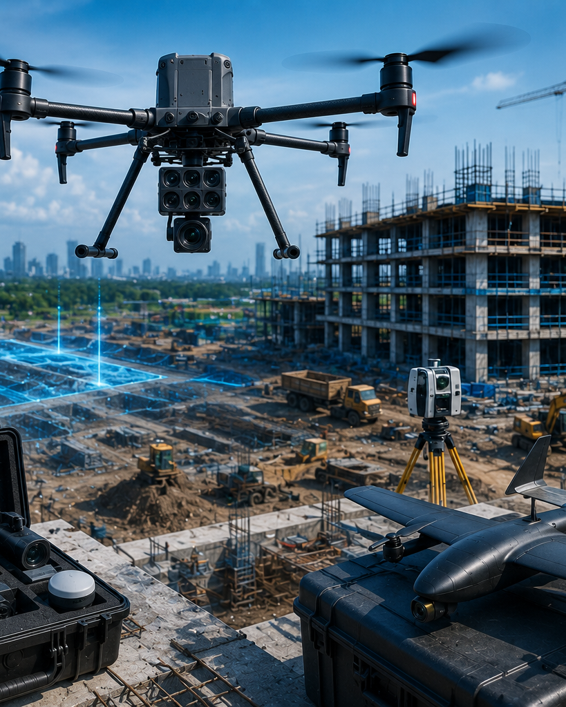

Everything You Need to Monitor Agricultural Land with Precision, Speed, and Confidence


Safe Infrastructure Inspections with Fully Managed Drone Operations
Inspect bridges, highways, buildings, and critical infrastructure without disrupting ongoing operations. Skyscan manages every stage—from mission planning and regulatory approvals to data capture, analysis, and reporting—delivering secure, high-precision insights with faster turnaround and complete operational control.