
Why Traditional Construction Monitoring Falls Behind
Delayed Progress Updates
Construction progress is often tracked manually, making updates slow, inconsistent, and difficult to verify.
Safety Risks on Site
Frequent site visits expose personnel to hazardous environments while increasing monitoring time and operational risks.
Increased Rework Risks
Without accurate as-built comparisons, design deviations often go unnoticed until costly rework is required.
Slow Decision-Making
Manual reporting delays project reviews, preventing stakeholders from making timely and informed decisions.
Fragmented Project Records
Site data, images, and reports are scattered across multiple teams and systems, making collaboration difficult.
Higher Monitoring Costs
Traditional monitoring requires more manpower, equipment, and repeated site visits, increasing project costs.
Limited Site Visibility
Ground-based monitoring provides limited project visibility, making it difficult to identify issues early.
Inefficient Resource Management
Limited visibility into site progress leads to inefficient planning, resource allocation, and project scheduling.
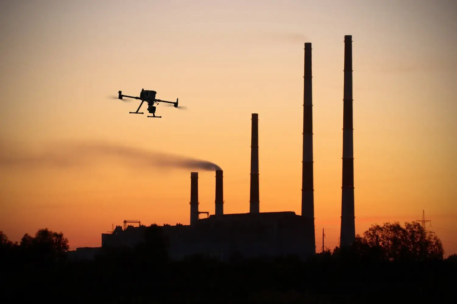
Advanced Sensor Technology
Aerial Timelines That Keep Everyone Aligned
We fly the same drone path each month to create a consistent visual record of site progress. Paired with static timelapse cameras, you get reliable updates that contractors, consultants, and stakeholders can all reference, without stepping on site.
Intelligent Data Capture
Compare Plans With What’s Actually Built
Our geo-referenced data helps you overlay as-planned designs with as-built reality. Spot delays early, avoid scope creep, and keep your project timeline intact, without relying on scattered reports or manual photos
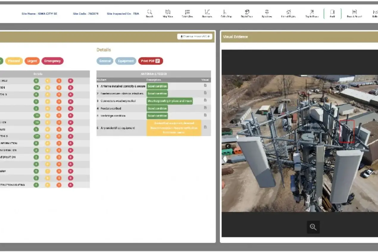

Multi-Sensor Surveying
No Delays. No Subcontractors. No Data Gaps.
From permit to final report, every flight and file is handled in-house by Skyscan. That means faster turnaround, full control of quality, and zero gaps in your project’s historical data archive, ensuring seamless construction monitoring every time.
Where Grounded Plans Quietly Took Flight
From delays to seamless execution — see how our drone solutions helped businesses rise above roadblocks.
Technical Capabilities
SkyScan combines advanced UAV platforms, intelligent sensors, AI-powered analytics, and industry best practices to deliver accurate, reliable, and GIS-ready geospatial solutions for projects of every scale.
01
Drone Platforms and Payloads
RGB-equipped drone fleet with high-resolution sensors and fixed-position timelapse cameras.
Flight paths and camera positions are optimized to match project timelines and key milestones.
02
Data Accuracy and Coverage
Captures with ground sampling distances (GSD) as precise as 5 cm.
Repeatable aerial routes ensure consistent progress tracking across large, active construction zones, perfect for construction progress monitoring.
03
Processing and Analysis
Millions of images stitched, processed, and layered with plan data.
Outputs include annotated progress maps, visual timelines, volume estimates, and cloud-based reports.
04
Security and Compliance
Aligned with UAE aviation and municipal regulations
How SkyScan Reduced Months of Surveying to Days
CLIENT
Large-Scale Infrastructure Development – UAE
A multi-phase infrastructure project requiring continuous aerial monitoring, accurate progress tracking, and GIS-ready reporting across a large construction site.
THE CHALLENGE
Managing multiple contractors and monitoring project progress across a vast site made traditional reporting slow and inconsistent. Limited site visibility delayed decision-making and increased the risk of costly rework.
SKYSCAN SOLUTION
SkyScan conducted scheduled drone missions using high-resolution RGB cameras and AI-powered analytics to capture accurate aerial imagery, orthomosaics, and 3D site models. Our cloud-based reporting delivered real-time project insights and streamlined collaboration across stakeholders.
RESULTS
Construction progress was monitored with greater accuracy and consistency, reducing site visits, improving stakeholder visibility, accelerating reporting, and enabling faster, data-driven decisions throughout the project lifecycle.