
Leading Enterprise Drone Solutions Across the UAE
Slow Coverage Across Large Sites
Traditional surveying often delays planning, approvals, and project execution, resulting in higher costs and extended delivery timelines.
Difficult Progress Monitoring
Tracking large infrastructure and construction projects manually is time-consuming, inefficient, and often lacks real-time project visibility.
Hazardous Field Operations
Surveying difficult terrain exposes teams to unnecessary safety risks, harsh environments, and challenging that impact productivity.
Manual Processing Delays
Processing, classifying, and validating survey data manually slows reporting, increases human error, and delays informed decision-making.
Limited Data Accuracy
Conventional methods provide limited coverage and often miss critical site details, reducing the accuracy of planning and identify hidden risks and critical project details.
Integrated Data Challenges
Survey data often exists in isolated systems, making integration, sharing, and collaboration difficult across project teams.
Disconnected Survey Data
Survey information is scattered across multiple tools, teams, and formats, making collaboration difficult and slowing project coordination.
Limited Project Visibility
Without real-time aerial updates, monitoring site progress, identifying changes, and tracking milestones becomes slow and inefficient.
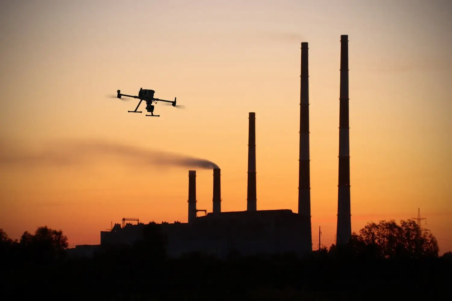
Advanced Sensor Technology
End-to-End Survey Solutions. No Compromise.
From mission planning and aerial data capture to processing, analysis, and GIS-ready deliverables, SkyScan manages every stage of the survey workflow. Our advanced UAV technology, LiDAR systems, and AI-powered analytics ensure accurate results, faster turnaround times, and reliable insights for projects of every scale.
Intelligent Data Capture
AI-Powered Data Analysis & Intelligent Reporting
SkyScan transforms drone-captured imagery into actionable insights using advanced AI and machine learning. Our automated analysis detects site changes, classifies terrain features, and generates comprehensive GIS-ready reports, enabling faster decisions, improved accuracy, and more efficient project management.
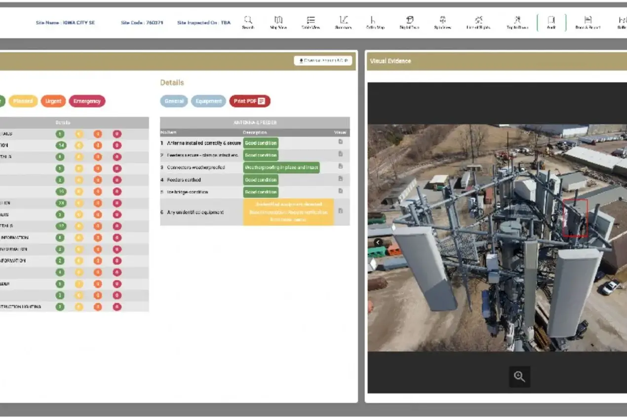

Multi-Sensor Surveying
Survey Every Environment with Confidence
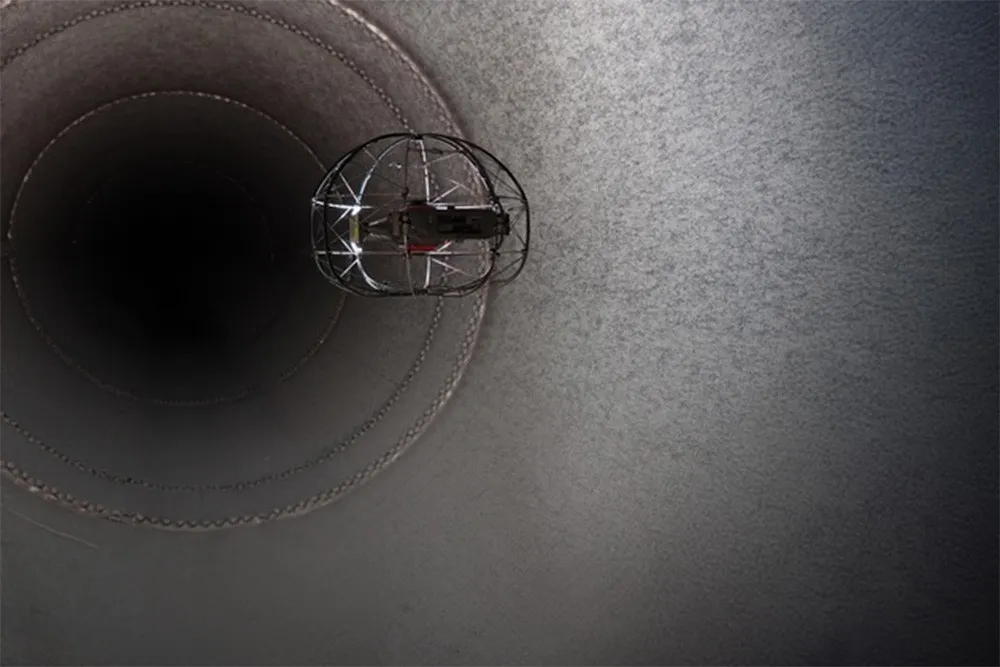
SkyScan’s advanced UAV solutions are designed to operate across challenging environments, including remote landscapes, coastal regions, industrial facilities, and difficult-to-access locations. By capturing accurate aerial data safely and efficiently, we reduce field risks while delivering reliable, GIS-ready insights for faster decision-making.
Comprehensive Site Intelligence
Advanced Sensor Technology for Complete Site Intelligence
SkyScan equips its UAVs with advanced payloads, including LiDAR, high-resolution RGB cameras, thermal imaging, multispectral sensors, and AI-powered analytics. By capturing multiple datasets in a single flight, we deliver comprehensive, GIS-ready insights while reducing field time, operational costs, and project complexity.
Where Grounded Plans Quietly Took Flight
From delays to seamless execution — see how our drone solutions helped businesses rise above roadblocks.
Engineered for Precision. Designed for Performance.
SkyScan combines advanced UAV platforms, intelligent sensors, AI-powered analytics, and industry best practices to deliver accurate, reliable, and GIS-ready geospatial solutions for projects of every scale.
01
Advanced Drone Platforms & Sensors
SkyScan deploys enterprise-grade UAVs equipped with LiDAR, high-resolution RGB cameras, thermal imaging, multispectral sensors, and AI-enabled payloads. Our advanced platforms capture precise aerial data for surveying, mapping, inspections, and geospatial analysis across diverse industries.
02
High-Precision Data Capture
Collect accurate aerial imagery, point clouds, and geospatial data in a single flight. Our intelligent drone solutions reduce field time, improve coverage, and deliver reliable GIS-ready datasets for faster planning and informed decision-making.
03
AI Processing & GIS Analytics
Drone-captured data is processed using advanced AI workflows to generate orthomosaics, 3D models, digital elevation models, and actionable insights. Automated analysis accelerates reporting while improving accuracy and operational efficiency.
04
Quality, Safety & Compliance
SkyScan follows industry best practices and regulatory standards to ensure safe, reliable, and compliant drone operations. Every mission is executed with a focus on data quality, operational safety, and consistent project delivery.
How SkyScan Reduced Months of Surveying to Days
Infrastructure & Construction Project – UAE
A large-scale infrastructure development requiring accurate topographic mapping, aerial surveying, and GIS-ready deliverables across a vast project area.
THE CHALLENGE
Traditional surveying required extensive field crews, repeated site visits, and weeks of manual data collection, delaying planning, engineering, and project execution.
SKYSCAN SOLUTION
Detect temperature variations, vegetation health, and hidden infrastructure issues with thermal and multispectral imaging, enabling smarter inspections and environmental monitoring.
RESULTS
Delivered accurate GIS-ready data in days instead of weeks, reduced fieldwork and operational costs, improved site safety, and enabled faster project planning and decision-making.